Search for a place or pan to a neighbourhood. Zoom in further to see names and buildings where detailed tiles are available.
Find your county in the game
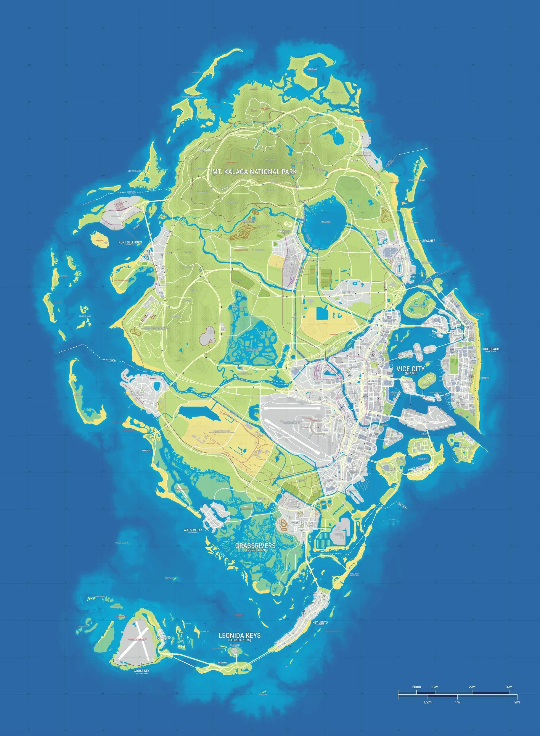
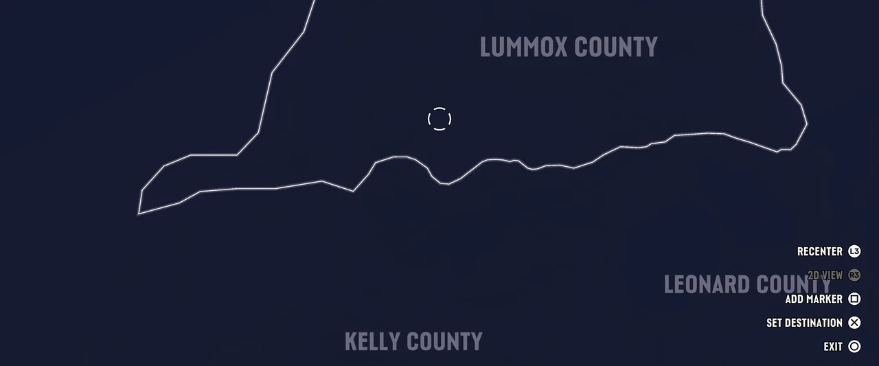
Use Vice City in Vice-Dale County as an eastern reference point. Port Gellhorn is in Kelly County, and Mount Kalaga National Park is in Lummox County. Search by the English name shown on the in-game map.
Read the community landmarks
Search or select a marker to centre the map on it. The atlas uses the GTADB community’s map and positioned landmarks. When you are looking for an exact road or junction, cross-check the label and nearby roads in the game.
Zoom in to streets and buildings
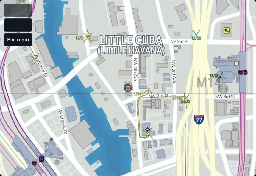
Search for Little Cuba and select one of the results. Press + to load the closest view. Around NW 3rd St and NW 4th Ave you can see street names and the outlines of individual buildings. Use Whole map to return to the region overview.